1829 Plan
This is an 1829 plan of the Settlement and Garrison Farm, Norfolk Island, Surveyed by Captain Wakefield [NRS 13859, Map 6321].
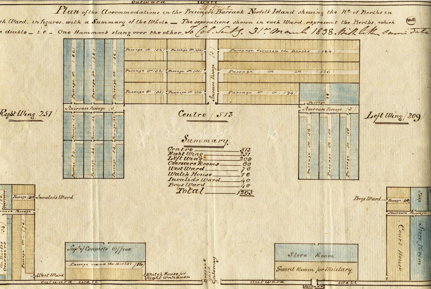
In the centre is the Garrison along with the Soldiers Gardens, Government House and Government Gardens and the Stock Yard leading out onto Sandy Flat. Below Sandy Flat is the Limestone Quarry and lime kiln and further down is the Prisoners Camp and Gardens. Alongside this is the Prisoners Barrack in under construction. Near the bottom are various buildings including the Civil Officers' quarters, Carpenters Shop, Store and Granary, Guard House and Gaol. And at the very top of the map is the Burial Ground.
This is from the series of Crown Plans, NRS 13859 which contains maps and plans of areas of New South Wales from 1792 to 1978. The maps depict portions of land, towns, villages, squatting districts, counties, parishes, roads, rivers, mountains and railways. Some plans also include descriptions of vegetation and soil, arability of land and other factual details.
Annotations were periodically added to the plans, noting sale of land, determinations for changing land use, gazettal information, plan cancellation (where this had occurred), names of land holders, bank resumptions and Deposited Plan numbers. Parish and Country details were also added to early plans that had been created before the county system developed.


