NSW State Archives and Sydney Living Museums are becoming the Museums of History NSW.
Visit our new website Go to State Records Authority
  • User
  • Favourite
  • Printable copy order forms

Shopping cart

Your shopping cart is empty.
  • About Us
  • Archives
    • Home
    • Collection & Research
    • Discover
    • Plan your visit
    • Events
    • Exhibitions
  • Government Recordkeeping
  • Government Records Repository
  • Our Partners
Home
  • About State Records
    • About
    • Annual Report
    • Committees
    • NSW State Archives Board
    • Contact us
  • Archives
    • Home
    • Collection & Research
    • Pre-order
    • Exhibitions
    • Discover
    • Visit
    • Ask an Archivist
  • Government Recordkeeping
    • Home
    • Rules
    • Advice and Resources
    • News
    • Training
    • Contact Us
  • Record Repository
SARA
Archives / Collection & Research / Research A-Z / Maps and Plans

Maps and Plans

  • Indexes
  • Guides
  • Stories

Stories content

  • Plans of public buildings
  • Early Crown Plan
  • A pastoral leasehold run
  • Map of Norfolk Island Settlement
  • The Colonial Mutual Life (CML) building
Back to Research A-Z


Plans of public buildings

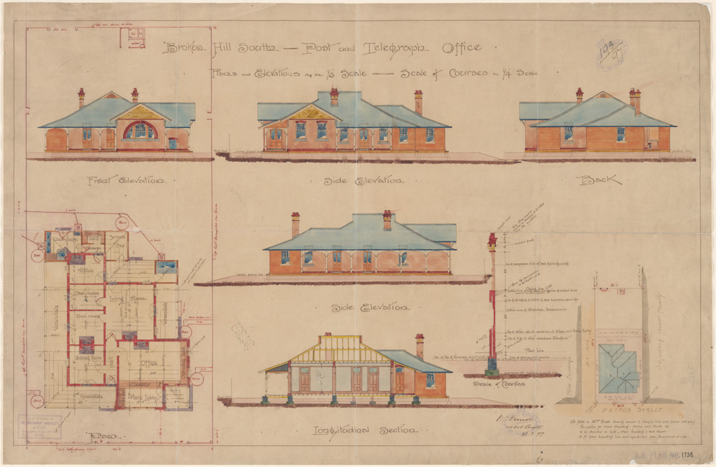
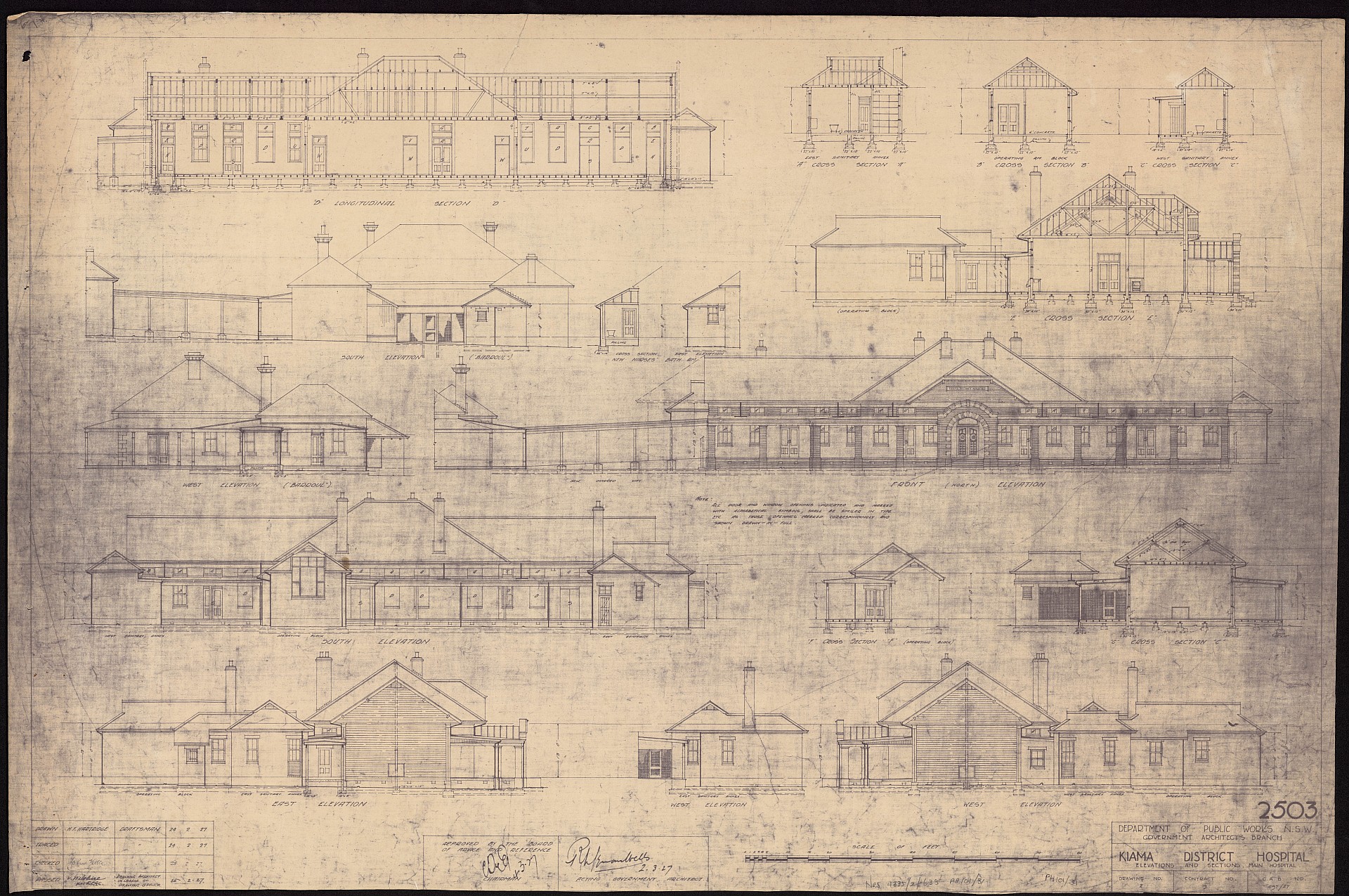
In series NRS-4335 Plans of Public Buildings there are 3,400+ plans and over 430 have been digitised and published to our catalogue, Collection Search. This page displays a sample of the digitised plans and includes gaols; hospitals; lands buildings; pilot stations; post and telegraph offices; school buildings and traways buildings. 
 

More

Early Crown Plan

More

A pastoral leasehold run

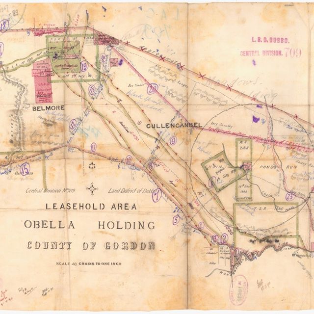
This is an example of a pastoral leasehold run. It's the Obella Holding [NRS 8352 lease #709] which was situated south of Dubbo, part of the Central Land Division.

More

Map of Norfolk Island Settlement

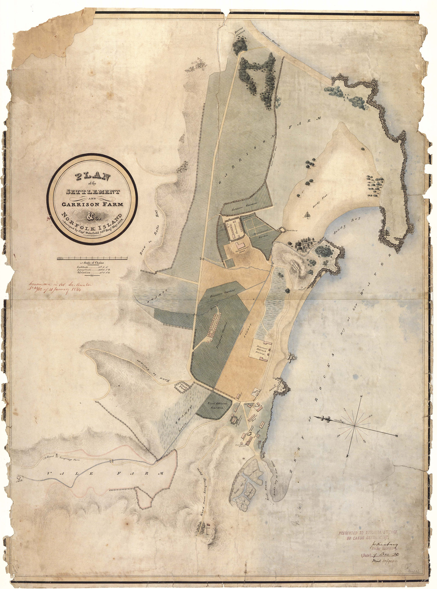
This is an 1829 plan of the Settlement and Garrison Farm, Norfolk Island, Surveyed by Captain Wakefield [NRS 13859, Map 6321].

More

The Colonial Mutual Life (CML) building

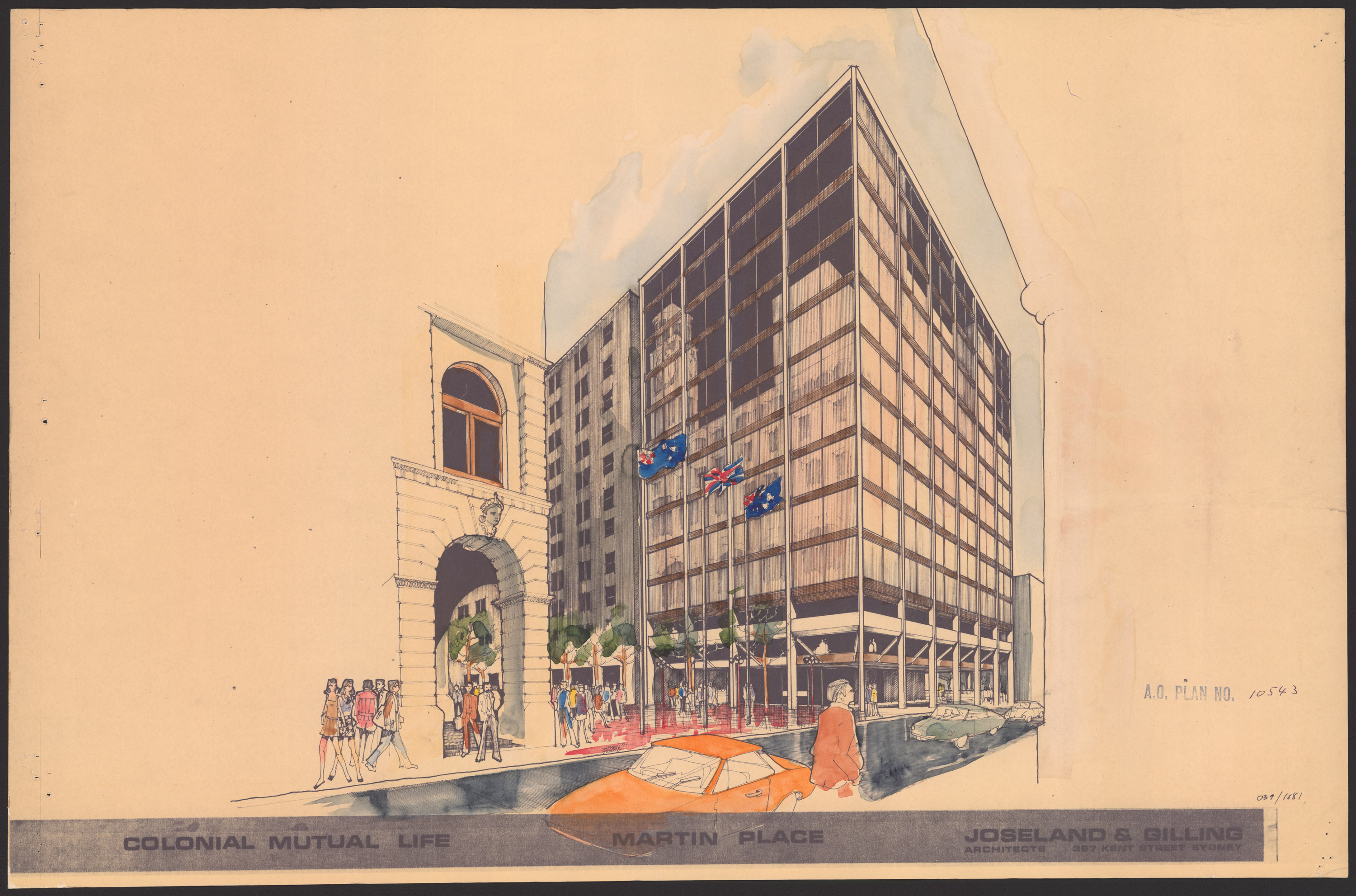
The Colonial Mutual Life (CML) building is a heritage listed Sydney landmark on the corner of Pitt Street and Martin Place, and sits opposite the GPO. It was designed by well-known Sydney architect John Kirkpatrick and built in 1892-93 in the Victorian Free Classical style.

More

Research A-Z


  • A
  • B
  • C
  • D
  • E
  • F
  • G
  • H
  • I
  • J
  • K
  • L
  • M
  • N
  • O
  • P
  • Q
  • R
  • S
  • T
  • U
  • V
  • W
  • X
  • Y
  • Z
  • Collection & Research
  • Events
  • Discover
  • Visit
  • Copy Services
  • Shop
  • Volunteer
  • Staff Login

Acknowledgement of Country
We acknowledge the traditional custodians of the Country on which we live and work, and pay respect to Elders past, present and emerging. We acknowledge the impact colonialism has had on Aboriginal Country and Aboriginal peoples and that this impact continues to be felt today.
Was, is, and always will be Aboriginal land.

Records

  • About
  • Contact
  • Accessibility
  • Cultural sensitivity
  • Copyright
  • Disclaimer
  • Privacy
  • I Work for NSW